Key points
- ForTy achieves 90.2% overall accuracy in classifying 2020 land cover at 10-meter resolution.
- The system identifies only about half of tree crops and 60% of plantations globally.
- The map supports EU deforestation rules by providing a critical 2020 reference point.
Google DeepMind and the World Resources Institute released ForTy, a global satellite map that distinguishes forest typologies using AI analysis of 2020 land cover data.reported
Evidence: reported
Google Deepmind creates a global map of forests with satellite data and AIaifleet-decoder
What was released or claimed
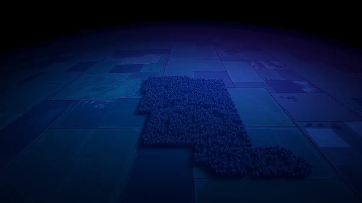
Google DeepMind and the World Resources Institute developed ForTy to classify land into six categories, including primary forest, plantations, and tree crops. The system uses AlphaEarth Foundations and multiple image-recognition stages to distinguish forest types by growth and harvest cycles rather than appearance alone. The authors state ForTy is the first global map of this kind, offering 10-meter resolution coverage where earlier datasets, such as one from the European Commission, covered only parts of the world.reported
Evidence: reported
Google Deepmind creates a global map of forests with satellite data and AIaifleet-decoder
Who it affects
Companies assessing supply chain risks under the EU Regulation on Deforestation-free Products (EUDR) need this data to prove goods were not linked to deforestation after December 31, 2020.reported The map also provides a reference point for initiatives like the Tropical Forest Forever Facility and the UN goal to protect 30 percent of global land by 2030.reported
Evidence: reported
Google Deepmind creates a global map of forests with satellite data and AIaifleet-decoder
Evidence: reported
Google Deepmind creates a global map of forests with satellite data and AIaifleet-decoder
What is still unknown
The map identifies only about half of tree crops and planted forests, and 60% of plantations.reported It is unclear how these gaps will impact specific supply chain audits, as oil palm and cocoa farms count as agricultural land, requiring precise 2020 usage data to determine compliance with EU rules.reported
Evidence: reported
Google Deepmind creates a global map of forests with satellite data and AIaifleet-decoder
Evidence: reported
Google Deepmind creates a global map of forests with satellite data and AIaifleet-decoder
What changes, what does not
ForTy offers a reliable 2020 reference point that satellite maps usually lack, which typically only show whether trees grow in an area without identifying type.reported This helps distinguish between primary forest converted to plantation and agricultural land, a key requirement for EUDR compliance.
Evidence: reported
Google Deepmind creates a global map of forests with satellite data and AIaifleet-decoder
Methods and limits
The research tests the ability to classify land by history, not just visual appearance, using three model stages. It reports 90.2% overall accuracy, outperforming European Commission maps on test data.reported However, the system admits significant limitations in identifying planted forests and tree crops, struggling with old planted forests that look natural and recently cleared plantations that appear as bare ground.
Evidence: reported
Google Deepmind creates a global map of forests with satellite data and AIaifleet-decoder
Why it matters
- AI platform architects can study how AlphaEarth Foundations handles temporal data to distinguish land use history from static visual features.
- The 60% plantation detection rate highlights the difficulty of classifying land based on growth cycles rather than spectral appearance alone.
- The 10-meter resolution requirement for global coverage demonstrates the scale of data processing needed for regulatory compliance tools.
- The gap between 90% overall accuracy and lower specific category accuracy shows the risk of aggregate metrics masking critical blind spots in specialized classification tasks.
Topics: Google DeepMind, satellite imagery, land cover classification, EU deforestation, AlphaEarth
Updated
Numbers in context
Circle area is proportional to the magnitude; labels retain signs. Figures may describe different measures. Read their contexts above.Ask the article
Local keyword search of this article; no generated answers.Did this article give you the evidence you needed?
Your choice stays on this device. No public tally.Questions readers ask
What accuracy does the ForTy map report?
The map achieved 90.2% overall accuracy in classifying land cover into six categories at 10-meter resolution.
Which forest types does the map struggle to identify?
The system identified only about half of tree crops and planted forests, and 60% of plantations.
Why is a 2020 reference point important for EU rules?
The EU Regulation on Deforestation-free Products prohibits goods linked to deforestation after December 31, 2020, requiring a baseline to track changes.
Reading receipt
- ForTy achieves 90.2% overall accuracy in classifying 2020 land cover at 10-meter resolution.
- The system identifies only about half of tree crops and 60% of plantations globally.
- The map supports EU deforestation rules by providing a critical 2020 reference point.